Mount Gambier is located approximately half way between Melbourne and Adelaide, in the centre of a wealthy agricultural district that supports dairying, wool, wheat, cereal and meat production. Many of the city's buildings, including an early Court House, are built of coralline limestone and dolomite, quarried from huge deposits in the area, including an early Court House.
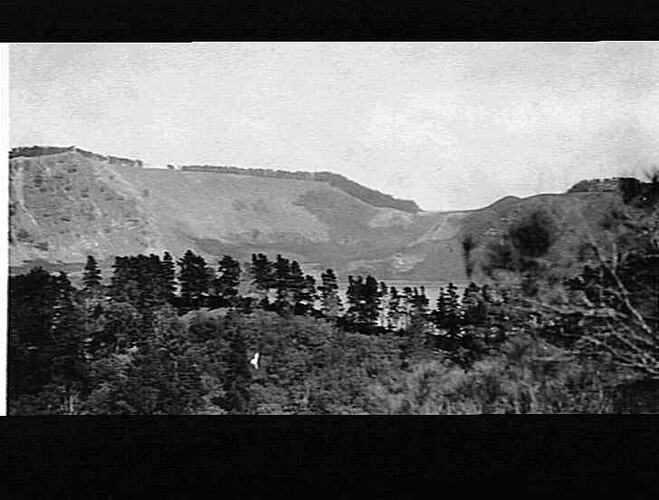
In 1800 Lt James Grant first sighted and named the volcano Mount Gambier from the Lady Nelson while on a survey voyage around the coast of Australia. Thirty-nine years later Stephen George Henty, one of the founders of Portland, became the first European person to see the lakes in the crater of Mount Gambier. His party was followed by many pastoralists and settlers who were attracted to the rich district.
In 1847 the first commercial building, John Byng's Hotel, was erected. In 1854 Hastings Cunningham subdivided a section of 77 acres (approximately 31 hectares) to form Gambiertown (later Mount Gambier). Soon Government agencies formalised the subdivision and and private landholders began to settle. The first Town Council was formed in 1876, and in 1954 Mount Gambier was declared a City.
References:
Local Government Managers Australia website http://www.parklane.com.au/scripts/public/co_get.oci?code=537
City of Mount Gambier website http://www.mountgambier.sa.gov.au/aboutcity/history/City_History.htm
More Information
-
Keywords
-
Localities
-
Authors
-
Article types