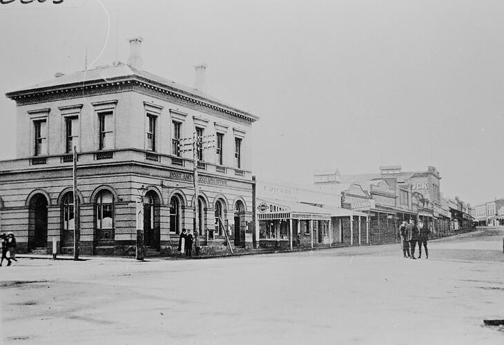
Stawell is located 233 kilometres north-west of Melbourne, in the Wimmera district. Stawell was named after Attorney-general William Foster Stawell, although it was first called The Reefs, after gold was discovered there in 1853. It was also known for a short period as Pleasant Creek. The original Pleasant Creek Court House was constructed in 1860.
The area now known as Stawell was part of Concongella Sheep Station in May 1853 when gold was discovered by William McLachlan at Pleasant Creek. It was only a small amount of gold and diggers came and went until August 1857, when a major rush occurred at what became known as Commercial Street, Pleasant Creek. This rush spread across to Deep Lead. At the height of the rush there were 25,000 to 30,000 prospectors. Gold was found in quartz mined from shafts sunk around Big Hill, later known as Quartz Reefs. Alluvial gold was found in the Illawarra/Deep Lead area. The field had petered out by 1859, but the Quartz Reefs became a stable gold field known as 'Stawell's Golden Mile', and companies were formed to purchase the machinery needed and employed many miners. Mining slowed down in the late 1880s, with many mines closing from then to the 1890s. The last mine closed in 1920.
The settlement at Stawell was proclaimed on 11 June 1858, and became a borough in 1869. The borough of Stawell became a town in 1969 and a city on the 12th of November 1989.
The Shire of Stawell was declared on 30 December 1864. On 20 January 1995 the Shires of Stawell and Kara Kara and part of the Shires of Wimmera, Dunmunkle and Donald, and the City of Stawell and Town of St. Arnaud, united to form the Northern Grampians Shire Council.
Stawell Shire Council issued a medal in 1985 to commemorate the sesquicentenary of Victoria (NU 20712).
References:
Municipal Association of Victoria website http://www.mav.asn.au/
Blake, L. (1977). Place Names of Victoria.
Stawell Historical Society website http://home.vicnet.net.au/~shsinc/stawell.html
More Information
-
Keywords
-
Localities
-
Authors
-
Article types