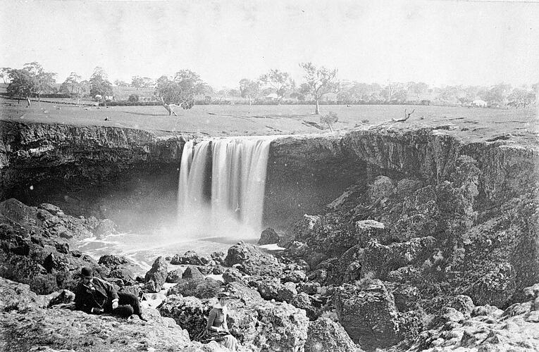
The Wannon Shire Council presided over a farming district by the Wannon River, north-west of Hamilton. The name Wannon was chosen by explorer Major Mitchell in 1836 from the Aboriginal wanna, meaning digging stick, or wanya, meaning boomerang.
The focus of the district was the town of Coleraine, founded in 1845 with the establishment of the Koroit Inn on the Adelaide to Port Phillip road. In 1853 town allotments were surveyed, and five years later were auctioned. In 1860 a police camp was established and in 1868 a steam flour mill was constructed to process locally-grown wheat.
The Shire of Wannon was gazetted in 1872. The Council met at the court house until its own chambers were erected in 1877. The chambers comprised a meeting hall, two smaller rooms and a verandah. The Shire used the chambers until 1961.
By 1880 Coleraine had a good collection of public buildings including four churches, two banks, a post office and a mechanics institute, in addition to the court house and shire hall. The Shire's population was now 3,200 with 800 residing in Coleraine. The town also serviced a large farming area, primarily used for sheep grazing.
The Shire of Wannon issued a medal in 1985 to commemorate the sesquicentenary of Victoria (NU 20716).
On 23 September 1994 the Shire of Wannon, City of Hamilton, and parts of Shires of Dundas, Kowree, Mount Rouse and Heywood united to become the Southern Grampians Shire Council.
References:
Municipal Association of Victoria website http://www.mav.asn.au
Australian Heritage Places Inventory website http://www.heritage.gov.au/cgi-bin/ahpi/record.pl?RNE19001
Blake, L. (1977). Place Names of Victoria.
More Information
-
Keywords
-
Localities
-
Authors
-
Article types
