The Wimmera district lies between the Western District in the south, and the Mallee in the north, stretching from Stawell and Donald in the east to the South Australian border in the west.
Wimmera was named by explorer Major Mitchell in 1836, from the Aboriginal word 'wommera', meaning throwing stick. Mitchell was so impressed by the Wimmera and the Grampians that he named the region 'Australia Felix' - Fortunate Land.
The Shire of Wimmera was proclaimed on 4 March 1864. It covered an area of approximately 38,000 square kilometres.
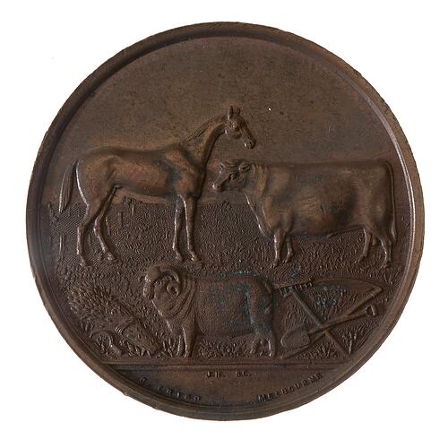
In 1887 the Shire of Wimmera issued a medal to commemorate the jubilee of Queen Victoria (NU 20421).
Geographically and climatically the Wimmera is suited to agriculture (wheat, barley, legumes, and canola crops). In the later 20th century sheep farming (wool and meat) increased in the south, and tourism became increasingly important - the area offers access to the Grampians and Little Desert National Parks, and Mt. Arapiles.
In 1985 the Shire of Wimmera issued a medal to commemorate the sesquicentenary of Victoria (NU 20718).
On 20 January 1995 most of the Shires of Wimmera and Arapiles, parts of the Shire of Kowree and the City of Horsham united to form the Horsham Rural City Council. The remaining part of the Shire of Wimmera became part of the new Yarriambiack Shire Council on the same day.
References:
Blake, L. (1977). Place Names of Victoria
Municipal Association of Victoria website http://www.mav.asn.au
Summary Regional Needs Analysis, Wimmera Regional Housing Council, December 1994
Visit Victoria website http://www3.visitvictoria.com/displayObject.cfm/objectid.000151AB-4BCA-1A6E-A1D280C476A90000/vvt.vhtml.
More Information
-
Keywords
-
Localities
-
Authors
-
Article types