Summary
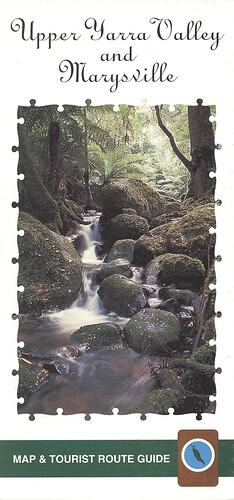
Map and tourist route guide for the Upper Yarra Valley & Marysville, published by The Shire of Yarra Ranges and Tourism Victoria, circa 2008. It has an extensive map of the Yarra Ranges National Park and surrounding areas. Detailed smaller location-specific maps contain information and include touring routes. The pamphlet includes advertising for local businesses such as accommodation, attractions and activities. Duplicate of HT 26271.
Physical Description
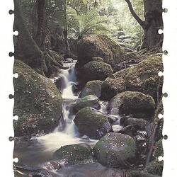
Large format double-sided pamphlet folded to DL size, full colour throughout. Pamphlet opens up to reveal large map on one side and list of advertisements on the reverse. When folded the front cover has a picture of rainforest and a creek.
Significance
This pamphlet presents a poignant snapshot of the tourist services and infrastructure which was present before the Black Saturday bushfires. Many of the landscapes and establishments listed in the pamphlet no longer exist or have been greatly impacted by the bushfires, and this demonstrates the strain the bushfires have had, and continue to have on the environment, economy and community of the Upper Yarra Valley and Marysville.
More Information
-
Collection Names
-
Collecting Areas
-
Acquisition Information
Donation from Ms Margaret Baker - Yarra Valley Regional Tourism Association, 2010
-
Sponsor
-
Sponsor
Mystic Mountains Tourism Marysville, Victoria, Australia, 2008
-
Inscriptions
Upper Yarra Valley/and/Marysville/Map & Tourist Route Guide
-
Classification
-
Category
-
Discipline
-
Type of item
-
Overall Dimensions - Unfolded
498 mm (Width), 420 mm (Height)
-
Keywords


