Summary
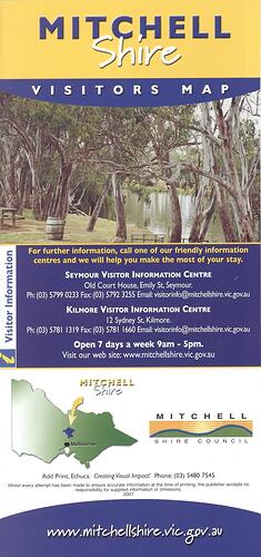
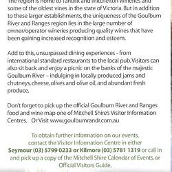
Official visitors' map for the Mitchell Shire published by Mitchell Shire in 2007. It has an extensive motor map of the area ranging from Wallan to Seymour. Detailed smaller location-specific maps include touring routes. The map includes pictures taken from locations within Mitchell Shire and lists information for visitor information centres within Mitchell Shire.
Physical Description
DL sized, full colour, soft cover fold-out pamphlet includes a cover featuring 8 small pictures, including a glass of wine, a couple playing golf, a group horse riding and a man fishing.The interior includes a large full colour fold-out map with colour photographs surrounding the map.
Significance
This map represents a poignant snapshot of the landscape present before the Black Saturday bushfires of February 2009. Many of the places, including roads and access paths, no longer exist. This highlights the impact of the bushfires on the local environment, economy and community of Mitchell Shire.
More Information
-
Collection Names
-
Collecting Areas
-
Acquisition Information
Collected from Ms Liza Dale-Hallett - Museum Victoria, 2010
-
Publisher
-
Inscriptions
MITCHELL/SHIRE/VISITORS MAP/www.mitchellshire.vic.gov.au
-
Classification
-
Category
-
Discipline
-
Type of item
-
Overall Dimensions - Unfolded
398 mm (Width), 420 mm (Height)
-
Keywords


