Summary
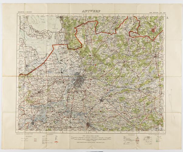
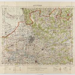
Military map, Belgium, Antwerp, 3 scale 1:100,000. Labelled 'Georgaphical Section General Staff no. 2364', the map was photo-etched at the Ordnance Survey Office, Southampton, England, in 1911, and was drawn and printed at the War Office in 1912.
The map was used by Captain Morris Lewis during World War I. Captain Lewis, 44th Battalion, Third Division, First AIF, was born in Wales in 1892 of Jewish heritage. He was a 23-year-old tailor living in Perth when he enlisted to serve in World War I. He applied for a commission in May 1916, and left Fremantle for England on 6 June 1916, where he received training. Lewis was sent to the front in France in November 1916 and was wounded on 29 September 1918. He was awarded the Military Cross 'For conspicuous gallantry and devotion to duty when the enemy delivered a couterattack and penetrated part of the line. This officer led a party and drove him out, inflicting severe casualties. He set an excellent example to his men.' He survived the war and served again in World War II.
Physical Description
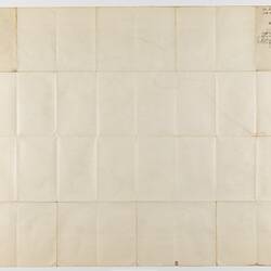
Map, paper backed with cloth, printed in black, green, blue and red on white. Centered on city of Antwerp. Treed areas marked in green. The title panel for the map appears on a panel on the back; the map has been stored folded. Yellow stains on title panel of map.
More Information
-
Collection Names
Military Memorabilia Collection, Returned and Services League (RSL) Collection
-
Collecting Areas
-
Acquisition Information
Donation from Victorian Branch, Returned & Services League of Australia Limited (RSL), 24 Feb 1986
-
Printer & Publisher
-
Place & Date Designed
-
Place & Date Depicted
-
Organisation Named
44th Battalion, 3rd Division, 1st Australian Imperial Force (AIF)
-
Previous Owner
Captain Morris '. Lewis - 44th Battalion, 3rd Division, 1st A.I.F.
-
Format
Map, Black & White
-
Language
English
-
Inscriptions
Hand-written on title panel of map: 'M. Lewis 2 Lt. / 44th Batt.'
-
Classification
-
Category
-
Discipline
-
Type of item
-
Primary support
864 mm (Width), 702 mm (Height)
-
Keywords
Maps, Militaria: Australian, Military Memorabilia, World War I, 1914-1918