Summary
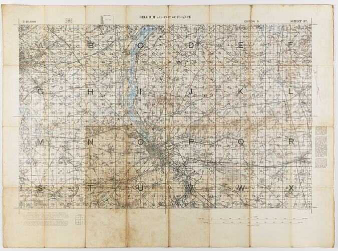
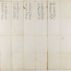
Map of Belgium and part of France, Ordnance Survey Sheet 37, Scale 1:40,000, Edition 3, March 1917. The back of the map provides common military-related French words and their translations.
Physical Description
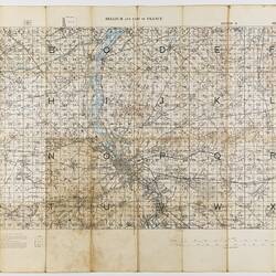
Contour map, printed in red, green, blue and orange on off-white. Degrees along axes. Scale and key at bottom. On back side at upper right corner is a small version of the map showing its location on a larger map of Belgium and France, to form a cover when the map is folded. The back also includes common French words and their translations. The map has significantly discoloured along its folds and is dirty from use.
More Information
-
Collection Names
-
Collecting Areas
-
Acquisition Information
Transfer from Victorian Branch, Returned & Services League of Australia Limited (RSL), circa 1986
-
Acknowledgement
From an original donation to the Returned Servicemen's League (RSL), Anzac House, Melbourne.
-
Place & Date Depicted
-
Place & Date Depicted
-
Inscriptions
Printed on front: 1:40,000 / BELGIUM AND PART OF FRANCE / EDITION 3. / SHEET 37. / INSTRUCTIONS AS TO THE USE OF THE SQUARES / Ordnance Survey. March 1917. ' Extensive text follows. Printed on reverse: 'BELGIUM AND FRANCE / Sheet 37 / Edition 3 / INDEX TP ADJOINING SHEETS / Scale / 1/40,000'.
-
Classification
-
Category
-
Discipline
-
Type of item
-
Primary support
896 mm (Width), 656 mm (Height)
-
Keywords