Summary
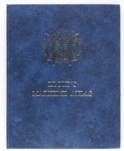
Hardback Maritime Atlas, 12th edition, published in 1979 by Lloyd's Shipping Publications, Lloyd's of London Press.
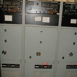
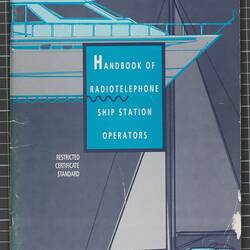
This equipment was collected from the Melbourne Coastal Radio Station after it was closed in July 2002. In addition to communications equipment and documentation, items in general office use were collected in order to represent as far as possible the working environment at the time of closure.
Physical Description
Hardback book with blue cover embossed with silver lettering and insignia. The content is presented in section form; 1 Maps, II Geographical list of Ports and shipping places of the world/ Distance table, III Index. The maps are presented in colour but have been standardized so that all land masses are yellow and all oceans/ seas are blue.
More Information
-
Collection Names
-
Collecting Areas
-
Acquisition Information
Donation from Mr Michael Greenwood, Aug 2002
-
Publisher
Lloyd's of London Press, London, England, Great Britain, 1979
-
User
Melbourne Maritime Communication Service (Melbourne MCS), Telstra - Australian Maritime Communication Service (Australian MCS), 1225 Boneo Road, Cape Schanck, Mornington Peninsula, Victoria, Australia, 1980-2002
-
Inscriptions
On front cover: 'LLOYD'S MARITIME ATLAS' Stamp on right-hand front endpaper: 'O.T.C. COASTAL RADIO STATION / 26 MAY 1980 / HOBART' On title page: 'LLOYD'S / MARITIME ATLAS/ including / A COMPREHENSIVE LIST OF PORTS AND SHIPPING PLACES / OF THE WORLD / TWELFTH EDITION/ Compiled and Edited by / THE PUBLISHER, LLOYD'S SHIPPING PUBLICATIONS/ LLOYD'S OF LONDON PRESS LTD.'
-
Classification
-
Category
-
Discipline
-
Type of item
-
Object Measurements
285 mm (Length), 223 mm (Width), 12 mm (Height)
-
References
Melbourne MCS (Melbourne Maritime Coastal Service) accessed 13 March 2012 [Link 1]
-
Keywords


