Summary
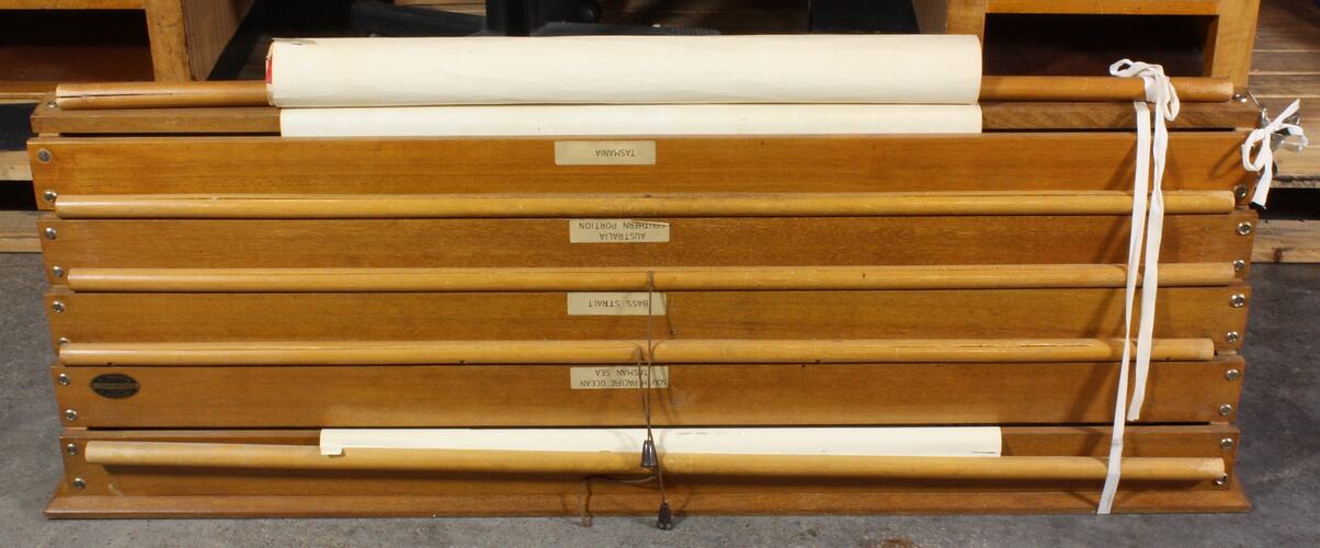
Wooden framed Chart Holder with pull down maps made by J. Creffield Pty. Ltd. Map Mounters, Melbourne.
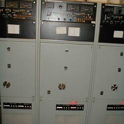
This equipment was collected from the Melbourne Coastal Radio Station after it was closed in July 2002. In addition to communications equipment and documentation, items in general office use were collected in order to represent as far as possible the working environment at the time of closure.
Physical Description
Wooden map holder designed for attachment to a wall and holding five maps. Maps are mounted on a series of horizontal rollers, one above the other and stepped outwards from the lowest roller which is closest to the wall to the topmost roller which is furthest from the wall. This arrangement allows each map to be pulled down from its roller without being obstructed by the other maps. Each map is fitted with a wooden dowel along its lower edge and a short string and toggle attached to the centre of each dowel allows the map to be pulled down from the holder. The front of each map roller housing carries a label identifying the map on that roller. The maps/ charts are printed in colour on parchment coloured paper.
More Information
-
Collection Names
-
Collecting Areas
-
Acquisition Information
Donation from Mr Michael Greenwood, Aug 2002
-
User
Melbourne Maritime Communication Service (Melbourne MCS), Telstra - Australian Maritime Communication Service (Australian MCS), 1225 Boneo Road, Cape Schanck, Mornington Peninsula, Victoria, Australia, 1993-2002
-
Manufacturer
J. Creffield Pty. Ltd., Melbourne, Victoria, Australia, 1970-1992
-
Inscriptions
On small brass plaque attached to right-hand front of housing of map second from top: 'J.CREFFIELD PTY. LTD. / MAP MOUNTERS./ MELBOUNRE, VIC.' On label on front of each map roller housing, starting from the top: 'NORTHERN BASS STRAIT PORT PHILLIP APPROACH' 'SOUTH PACIFIC OCEAN TASMAN SEA' 'BASS STRAIT' 'AUSTRALIA SOUTHERN PORTION' 'TASMANIA'
-
Classification
-
Category
-
Discipline
-
Type of item
-
Approximate Dimensions
171 mm (Length), 1289 mm (Width), 430 mm (Height)
maps stored
-
Approximate Dimensions
17.1 cm (Length), 128.9 cm (Width), 50 cm (Height)
as is
-
References
Melbourne MCS (Melbourne Maritime Coastal Service) accessed 13 March 2012 [Link 1]
-
Keywords