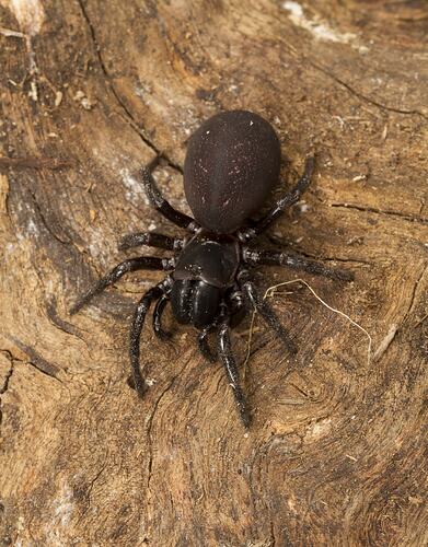
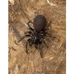
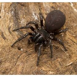
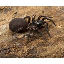
Specimen Details
-
Collection Names
-
Taxon Name
-
Photographer
-
Expedition Name
-
Collection Event Code
GRB 021
-
Date Visited From
28/11/2012 2:00 PM
-
Date Visited To
28/11/2012 3:00 PM
-
Category
-
Scientific Group
-
Discipline
-
Collecting Areas
-
Type of Item
Taxonomy
-
Kingdom
-
Phylum
-
Subphylum
-
Class
-
Order
-
Infraorder
-
Family
-
Genus
Geospatial Information
-
Site Code
GRBS 2012 47
-
Country
-
State
-
Precise Location
Grampians National Park, Victoria Range Track, west side of road 6-8km by road S of intersection with Goat Track
-
Minimum Elevation
826
-
Latitude
-37.2844
-
Longitude
142.334
-
Geodetic Datum
GDA94
-
Site Radius
5
-
Georeference Source
GPS
-
Georeference Protocol
gps
-
Georeference Date
2012-11-28T00:00:00
-
Georeference By
David Handscombe - Parks Victoria