Specimen Details
-
Collection Names
-
Taxon Name
-
Author and date of publication
Linnaeus, 1758
-
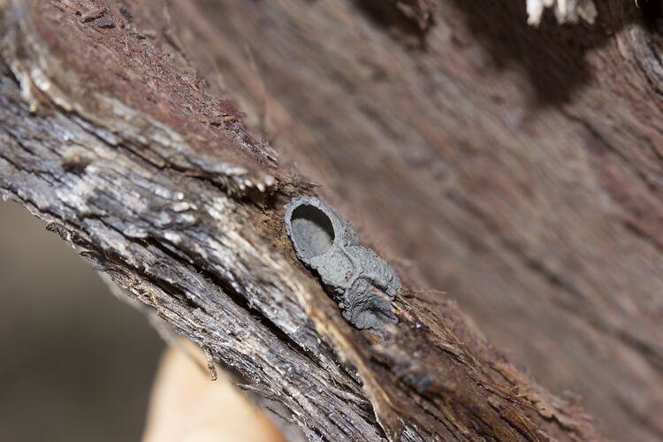
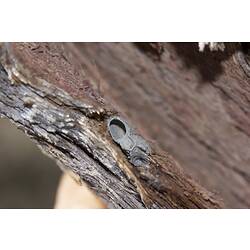
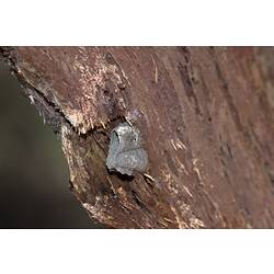
Specimen Nature
Nature: Nest
-
Photographer
-
Expedition Name
-
Collection Event Code
GRB 424
-
Category
-
Scientific Group
-
Discipline
-
Collecting Areas
-
Type of Item
Taxonomy
-
Kingdom
-
Phylum
-
Subphylum
-
Class
-
Order
Geospatial Information
-
Site Code
GRBS 2012 8
-
Country
-
State
-
Precise Location
Black Range State Forest, Rocklands Cherrypool Road, east side of road 450-600m by road N of intersection with Hogans Road
-
Minimum Elevation
208
-
Latitude
-37.151
-
Longitude
142.11
-
Geodetic Datum
WGS84
-
Site Radius
200
-
Georeference Source
GPS
-
Georeference Protocol
gps
-
Georeference Date
2012-12-01T00:00:00
-
Georeference By
Peter Lillywhite