Specimen Details
-
Collection Names
-
Taxon Name
-
Author and date of publication
(Walker, 1863)
-
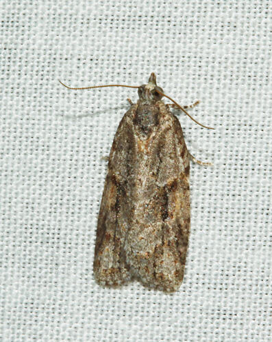
Preferred Common name
Moth
-
Number Of Specimens
1
-
Photographer
-
Expedition Name
-
Collection Event Code
OTB 2018 052
-
Date Visited From
30/10/2018 6:00 PM
-
Date Visited To
31/10/2018 7:30 AM
-
Category
-
Scientific Group
-
Discipline
-
Collecting Areas
-
Type of Item
Taxonomy
-
Kingdom
-
Phylum
-
Subphylum
-
Class
-
Order
-
Superfamily
-
Family
-
Subfamily
-
Genus
-
Species Name
rudisana
Geospatial Information
-
Site Code
OTB 2018
-
Continent
-
Country
-
State
-
District
-
Town
-
Nearest Named Place
-
Precise Location
Off Bird Track: "Burnt area" bordering a PV management track.
-
Minimum Elevation
150
-
Latitude
-38.6397
-
Longitude
143.883
-
Geodetic Datum
WGS84
-
Georeference Source
GPS
-
Georeference Protocol
gps
-
Georeference Date
2018-10-29T00:00:00
-
Georeference By
Mr Peter Marriott - Museums Victoria - Volunteer