Specimen Details
-
Taxon Name
-
Author and date of publication
Liem, 1973
-
Preferred Common name
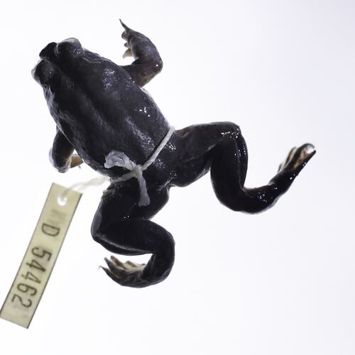
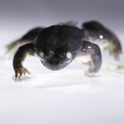
Southern Gastric Brooding Frog
-
Number Of Specimens
1
-
Specimen Nature
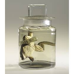
Nature: Spirit, Form: Wet
-
Collected By
G J. Ingram
-
Category
-
Scientific Group
-
Discipline
-
Collecting Areas
-
Type of Item
Taxonomy
-
Kingdom
-
Subphylum
-
Class
-
Subclass
-
Order
-
Family
-
Genus
-
Species Name
silus
Geospatial Information
-
Country
-
State
-
Precise Location
Conondale Range, Tragedy Creek, 2nd crossing on the forestry road
-
Latitude
-26.7
-
Longitude
152.62
-
Geodetic Datum
WGS84
-
Georeference Source
Google Earth
-
Georeference Protocol
Estimation
-
Georeference Date
2014-08-13T00:00:00
-
Georeference By
Dianne J. Bray - Museums Victoria


