Kerang is located at the northern tip of Victoria, 25 km from the state border. The name Kerang derives from an Aboriginal word, possibly meaning edible root vegetable. Prior to white settlement the Wemba-Wemba Aborigines were thought to live in the area. The first Europeans in the area were the party of Thomas Mitchell in 1836. Nine year later squatters began to take up the local land.
In 1848 Richard Beyes opened a public house adjacent a river crossing used by drovers about near the future town site. A store opened there the following year, followed by a saddlery and a church. In 1857 Woodfull Patchell built a bridge upriver following a land dispute and drew traffic away from the downstream site. He built a store, a house and a hotel which became the nucleus of a small village which was proclaimed as Kerang in 1861. Patchell was the first farmer in the state to use irrigation, and he experimented with oats, barley, maize, millet, tobacco, beet, cotton and sugarcane.
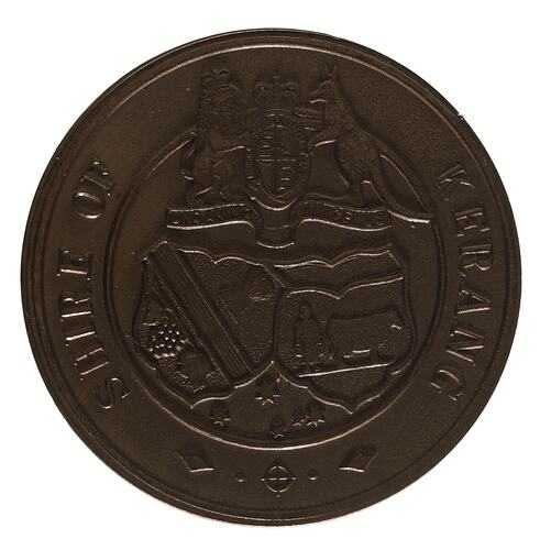
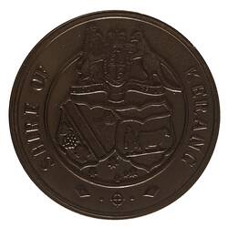
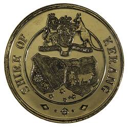
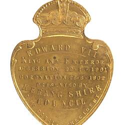
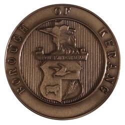
The district of Kerang was created on 8 July 1862. Kerang was declared a shire on 14 August 1871. The settlement's population then consisted of 109 people, mainly clustered around the Patchell store. However it grew considerably in the 1870s and 1880s, when the railway arrived from Bendigo in 1884 and a tramway was opened to Koondrook in 1888. The population had increased to over 1000 by 1891. The town continued to expand as a service centre to the district. The town of Kerang became a borough on 1 April 1966.
Years of heavy irrigation and cropping led to salination problems in the 1980s.
On 20 January 1995 the Borough of Kerang and most of the Shires of Kerang and Cohuna united to form the Gannawarra Shire Council.
References:
Blake, L. (1977). Place Names of Victoria.
Municipal Association of Victoria website http://www.mav.asn.au, accessed 22/01/2004.
Fairfax Walkabout website http://www.walkabout.com.au/locations/VICKerang.shtml, accessed 22/01/2004.
More Information
-
Keywords
-
Localities
-
Authors
-
Article types