Summary
Alternative Name(s): Map Overlay
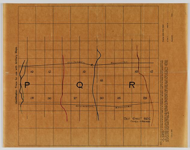
Medium light brown map on tracing paper, World War I, titled 'Identification trace for use with artillery maps'. It is inscribed 'G.S.G.S. 3023': Geographical Section of the General Staff, British Expeditionary Force.
The identification trace map was printed as means of transferring the position of targets located on more detailed artillery maps of scale 1/10,000, 1/20,000 or 1/40,000 to a simplified local map. The squares on the trace map represent 500 yards if the artillery map scale is 1/10,000; 1,000 yards if the scale is 1/20,000 and 2,000 yards if the scale is 1/40,000. When used, the scale of the original artillery map always needed to be noted.
In this case, the identification trace map has been used to represent details of artillery map Sheet 62c, Scale 1:40,000, meaning that one square represents 2,000 yards. It is marked with vertical lines identifying sections P, Q and R.
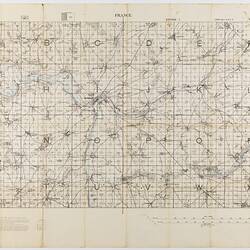
Museum Victoria holds a copy of map 62c - ST 040479, dated May 1917. The area depicted on the trace map is south-east of Peronne, and covers villages including Bouvincourt, Hancourt, Vraignes and Vermand. The vertical lines marking sections P, Q and R on the identification trace map do not appear on ST 040479. Peronne was occupied by the Germans for much of World War I.
Physical Description
Brown map on tracing paper with black lettering. Map divided into squares. Ref Sheet 62c Scale 1:40000. With divisional boundaries.
More Information
-
Collection Names
-
Collecting Areas
-
Acquisition Information
Donation from J. Lord, 1986
-
Place & Date Depicted
-
Publisher
Geographical Section of the General Staff, British Expeditionary Force
-
Inscriptions
'Identification Trace for use with Artillery Maps. Ref Sheet 62c Scale: 1:40000. Map showing Divisional Boundaries, divided into three sections ( P, Q, R) also numbers shown (28, 30, 27, 26, 29, 10, 12, 18)' These traces are intended to facilitate the communication of information as to the position of targets which have been located on a square map...' G.S.G.S. 3023
-
Classification
-
Category
-
Discipline
-
Type of item
-
Overall Dimensions
37.5 cm (Length), 48.2 cm (Width)
-
Keywords

