Summary
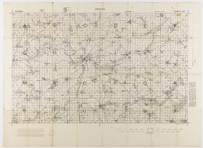
Military map of France printed in May 1917, sheet 62c edition 1, scale 1:40,000. It is labelled 'G.S.G.S. 2743': the Geographical Section of the General Staff, British Expeditionary Force.
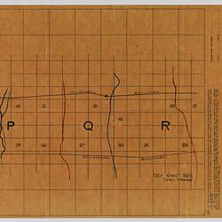
A detail of this map can be seen on the identification trace map ST 040579. Identification trace maps provide a means of transferring the position of targets on more detailed artillery maps such as Sheet 62c, Scale 1:40,000 to a simplified local grid.
Physical Description
Large printed map, mostly black (now browned) on off-white paper, with waterways in blue. Stains along map folds. When folded, cover displays map title.
More Information
-
Collection Names
-
Collecting Areas
-
Acquisition Information
Donation from J. Lord, 1986
-
Place & Date Depicted
-
Printer
Geographical Section of the General Staff, British Expeditionary Force
-
Inscriptions
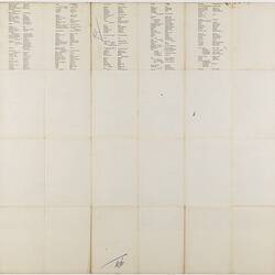
On cover surface (when folded) 'FRANCE. / SHEET 62c / EDITION 1. / INDEX TO ADJOINING SHEETS / SCALE 1/40,000 / ZONE CALL A. B. C. D.' Faintly written on front in blue pencil: 'Cpl Ea...' and [twice] 'P1'. Extensive text across map. Lower left: 'G.S.G.S. 2743'.
-
Classification
-
Category
-
Discipline
-
Type of item
-
Primary support
892 mm (Width), 654 mm (Height)
-
Keywords


