Specimen Details
-
Taxon Name
-
Preferred Common name
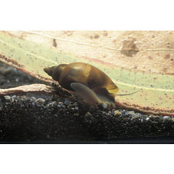
Freshwater Snail
-
Number Of Specimens
24
-
Specimen Nature
Nature: Whole, Form: Wet, Medium: ethanol 70%
-
Collected By
Fred W. Aslin
-
Collection Event Code
FWA 161
-
Date Visited From
4/06/1971
-
Date Visited To
4/06/1971
-
Category
-
Scientific Group
-
Discipline
-
Collecting Areas
-
Type of Item
Taxonomy
-
Phylum
-
Class
-
Subclass
-
Superfamily
-
Family
Geospatial Information
-
Country
-
State
-
Precise Location
Road junction to west of Hd. line. Innundated flats on corner water up to about 6" deep [Penola 1:250000 36254115]
-
Latitude
-37.57
-
Longitude
140.28
-
Geodetic Datum
WGS84
-
Georeference Source
NATMAP Raster
-
Georeference Protocol
NATMAP Raster Premium (determined from grid ref)
-
Georeference Date
2013-03-26T00:00:00
-
Georeference By
Dr Ursula Smith - Museums Victoria
