Specimen Details
-
Taxon Name
-
Author and date of publication
Leach, 1821
-
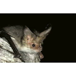
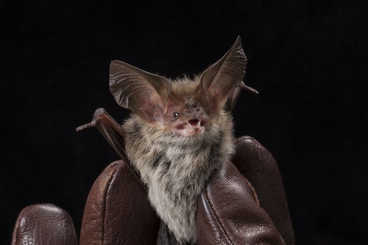
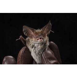
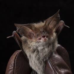
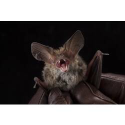
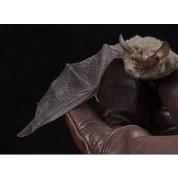
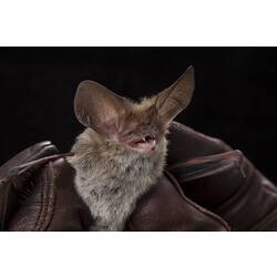
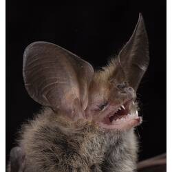
Preferred Common name
Lesser Long-eared Bat
-
Date Identified
20/11/2013
-
Identified By
Tony Mitchell - Department of Sustainability and Environment
-
Number Of Specimens
1
-
Sex
Male
-
Stage Or Age
Adult
-
Specimen Nature
Nature: Spirit, Form: Wet, Fixative treatment: formalin 10%, Medium: ethanol 70%
-
Date of preparation
20/11/2013
-
Expedition Name
-
Collected By
Tony Mitchell - Department of Sustainability and Environment
-
Collection Event Code
ALB 2013 0837
-
Sampling Method
Harp trap
-
Date Visited From
20/11/2013 8:00 AM
-
Date Visited To
20/11/2013 8:00 AM
-
Category
-
Scientific Group
-
Discipline
-
Collecting Areas
-
Type of Item
Taxonomy
-
Kingdom
-
Phylum
-
Subphylum
-
Class
-
Order
-
Family
-
Subfamily
-
Genus
-
Species Name
geoffroyi
Geospatial Information
-
Site Code
ABSite 0804
-
Country
-
State
-
Nearest Named Place
-
Precise Location
Alpine National Park, Native Cat Track, 8.67 km north east of junction with Nunniong Road, and 5.07 km south west of junction with Limestone Road
-
Minimum Elevation
1450
-
Maximum Elevation
1450
-
Latitude
-36.9175
-
Longitude
148.048
-
Geodetic Datum
WGS84
-
Georeference Source
Google Earth
-
Georeference Protocol
amg conversion
-
Georeference By
Karen K. Roberts