Specimen Details
-
Collection Names
-
Taxon Name
-
Preferred Common name
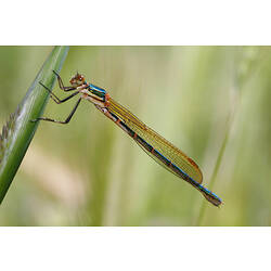
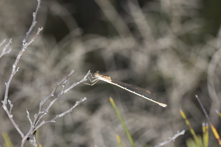
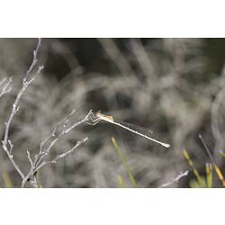
Damselfly
-
Photographer
-
Expedition Name
-
Collection Event Code
GRB 422
-
Date Visited From
22/11/2012 8:45 AM
-
Date Visited To
22/11/2012
-
Category
-
Scientific Group
-
Discipline
-
Collecting Areas
-
Type of Item
Taxonomy
Geospatial Information
-
Site Code
GRBS 2012 4
-
Country
-
State
-
Precise Location
Black Range State Forest, Mudadgadjin Picnic Area
-
Minimum Elevation
290
-
Latitude
-37.0936
-
Longitude
142.089
-
Geodetic Datum
WGS84
-
Site Radius
100
-
Georeference Source
GPS
-
Georeference Protocol
gps
-
Georeference Date
2012-11-22T00:00:00
-
Georeference By
Peter Lillywhite