Summary
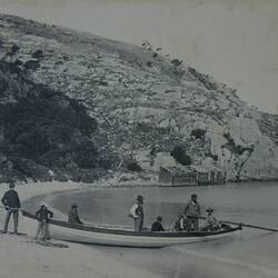
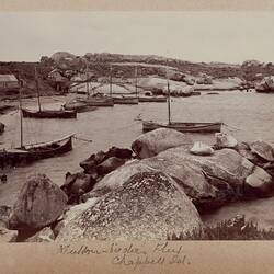
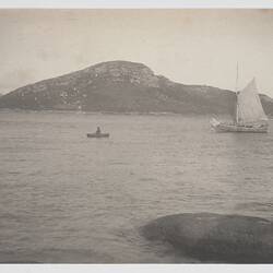
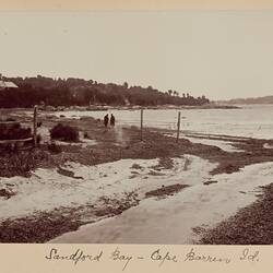
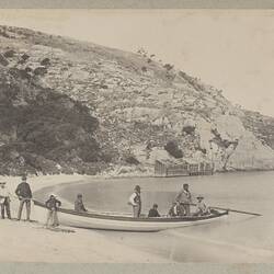
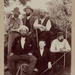
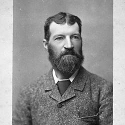
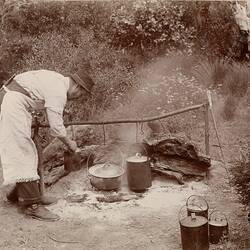
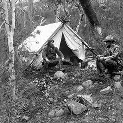
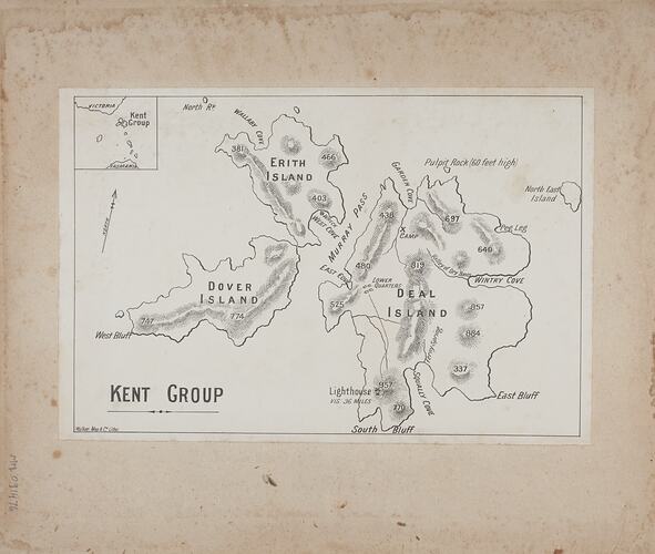
One of sixty-nine black and white and sepia photographs in a bound album [six of which are loose] taken by A J Campbell during a Field Naturalists' Club of Victoria expedition to Kent Group of islands, Bass Strait in 1890. The album also includes a map of Kent Group in the inside front cover and numerous contemporary newspaper clippings relating to the expedition.
Description of Content
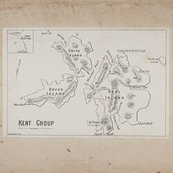
Map of the Kent Group of islands, Bass Strait. The group consists of four larger islands - Deal, Erith, Dover and North East Isle; and three other smaller exposed rocks.
Physical Description
Black and white newsprint
More Information
-
Collection Names
-
Collecting Areas
-
Acquisition Information
Transfer from Museum Archive, Museum Victoria, 13 Dec 2006
-
Place & Date Depicted
-
Photographer
Archibald J. Campbell, Melbourne, Greater Melbourne, Victoria, Australia, 1890
Information ascertained from newspaper reports of the day preserved with the photograph in the album. -
Organiser of Expedition
Field Naturalists Club of Victoria, Melbourne, Greater Melbourne, Victoria, Australia, 1890
-
Format
Printed, paper base, Lithograph, Black & White
-
Language
English
-
Inscriptions
Printed on map: "KENT GROUP"
-
Classification
-
Category
-
Discipline
-
Type of item
-
Image Dimensions
212 mm (Width), 140 mm (Height)
-
Keywords