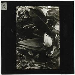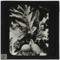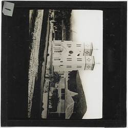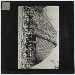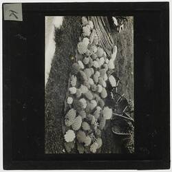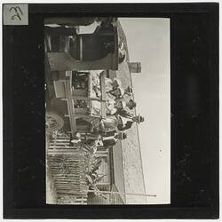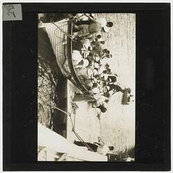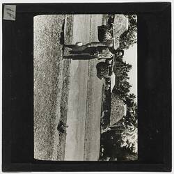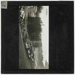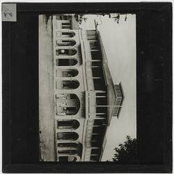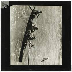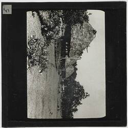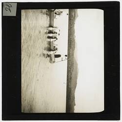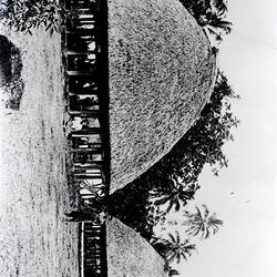
Summary
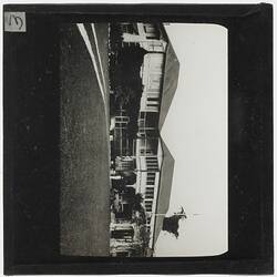
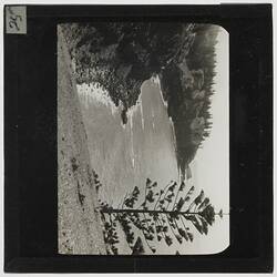
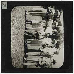
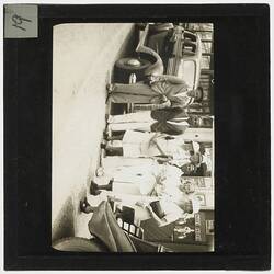
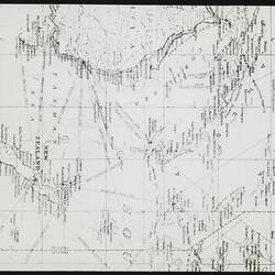
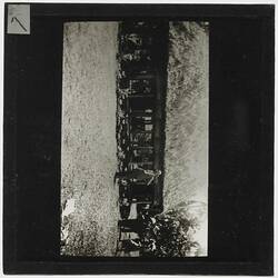
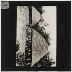
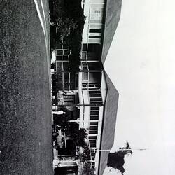
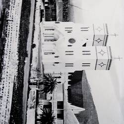
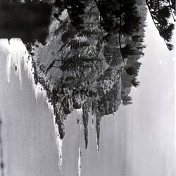
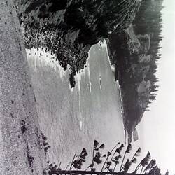
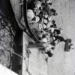
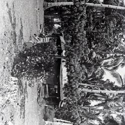
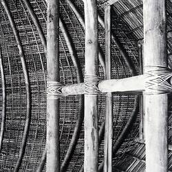
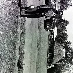
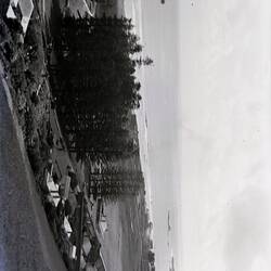
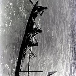
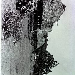
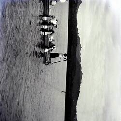
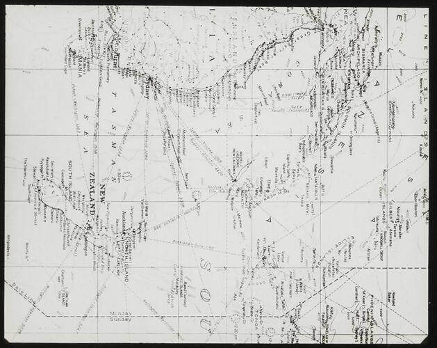
Lantern slide of map of New Zealand, New Caledonia, Fiji & Eastern Australia, circa 1920s. It shows routes and distances, and appears to be for sea voyages. It may represent the areas visited by the photographer of a collection of 55 photographic lantern slides, glass negatives and acetate negatives. The collection features travel images taken in the Pacific Islands, probably in the late 1930s.
Description of Content
Map showing the Tasman Sea, the Eastern part of Australia, Fiji, New Caledonia and New Zealand.
Physical Description
Photographic image in between two glass plates, paper frame inserted in between glass plates, strips of paper stuck around edges.
More Information
-
Collecting Areas
-
Place & Date Depicted
-
Format
Lantern Slide, Black & White
-
Classification
-
Category
-
Discipline
-
Type of item
-
Overall Dimensions
82 mm (Width), 82 mm (Height)
-
Keywords