

On December 19, 2015 lightning strikes ignited two bushfires in the Barwon Otway Region, one near Delaneys Road and the other near Jamieson Track. In the early stages, these fires, which became known as the Wye River - Jamieson Track fire, were largely controlled and contained but the combination strong winds, heat, and dry conditions resulted in the fire jumping containment lines on December 25 and by Boxing Day 98 houses in Wye River and 18 in Separation Creek had been destroyed.
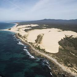
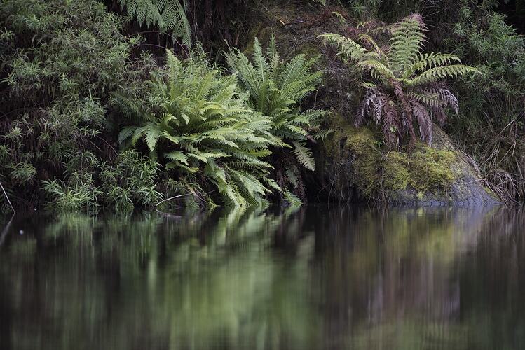
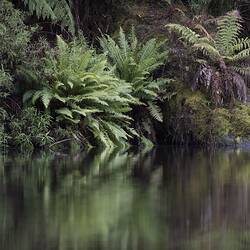
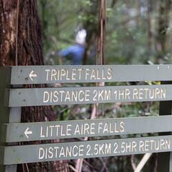
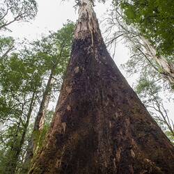
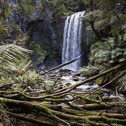
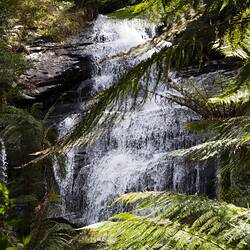
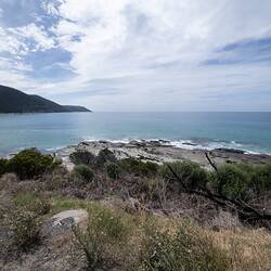
The Otway Ranges are characterised by steep terrain and complex gully systems that are difficult to access and thus difficult to defend from fire. The Wye River - Jamieson Track fire lasted for 34 days and approximately 2500 hectares of land was burned, including areas within the Great Otway National Park.
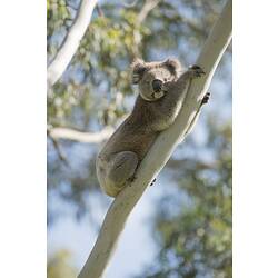
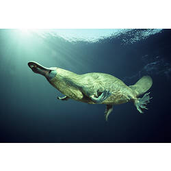
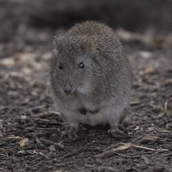
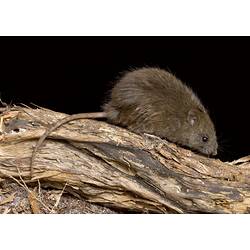
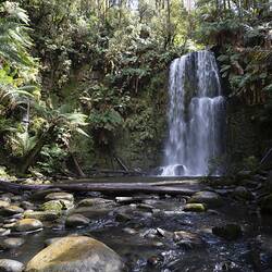
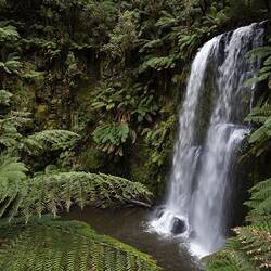
As part of the Wye River Recovery Project, a collaboration between Museums Victoria and Parks Victoria was established and the Otway Bioscan project was born. In spite of the devastating effects of the 2015/16 fires, the Great Otway National Park remains an area of important biological, geological and cultural value and the main aim of the Otway Bioscan was to further investigate, discover and showcase the national park's rich and resilient environment.
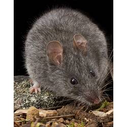
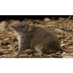
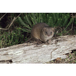
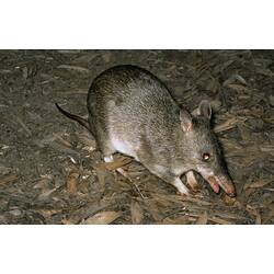
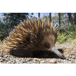
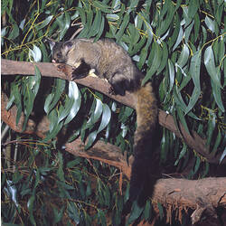
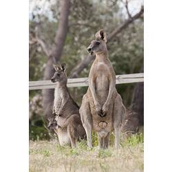
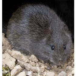
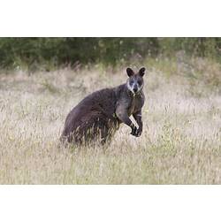
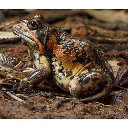
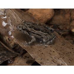
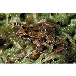
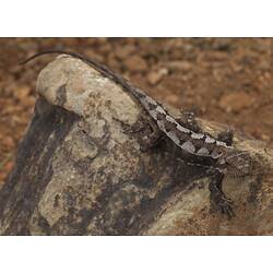
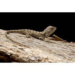
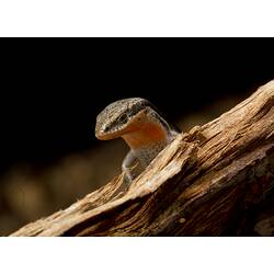
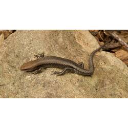
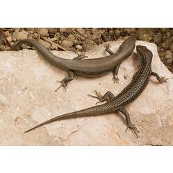
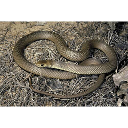
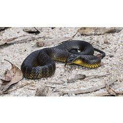
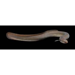
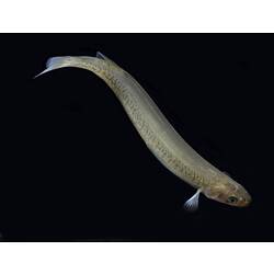
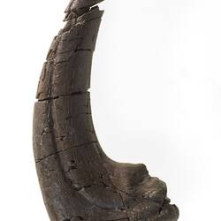
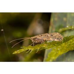
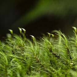
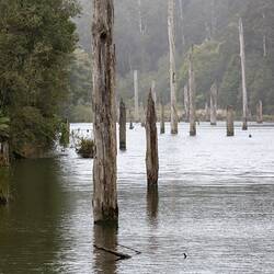
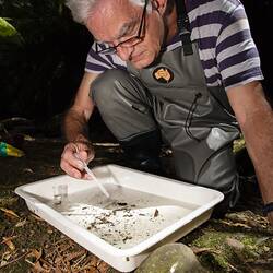
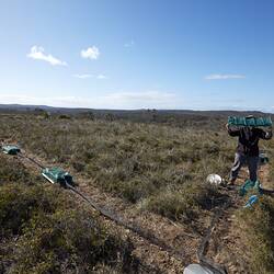
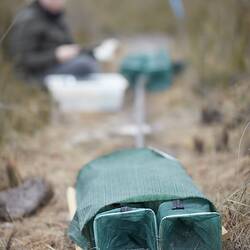
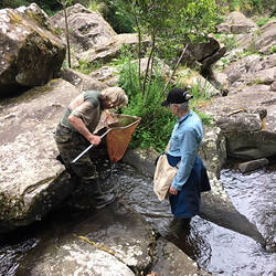
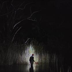
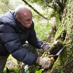
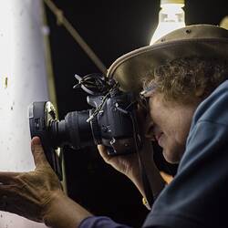
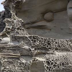
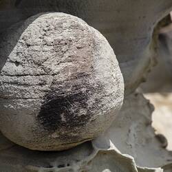
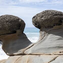
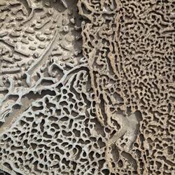
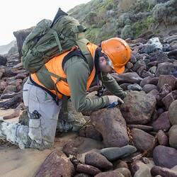
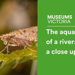
From September 2018 to March 2019 Museum and Parks Victoria staff, scientists and volunteers carried out a series of biological surveys within the Otways. The groups covered included birds, insects (i.e. aquatic species, moss bugs and moths), small mammals, reptiles and amphibians. In addition, geology and palaeontology pilot surveys were conducted in the western part of the park.
The combined expertise of Museum and Parks Victoria staff resulted in the collection of important data that adds to our knowledge and understanding of the biological diversity within the park, which in turn contributes to conservation management.
More Information
-
Keywords
-
Authors
-
Article types